Mexico to Canada Thru Hikes
Mexico to Canada Thru Hikes
There are multiple long distance trails or routes than you can hike from Mexico to Canada, or from Canada to Mexico in the other direction. The Pacific Crest Trail and the Continental Divide Trail are well known, but there are some lesser-known routes that I will list below - some of which have been completed only once by a single person.
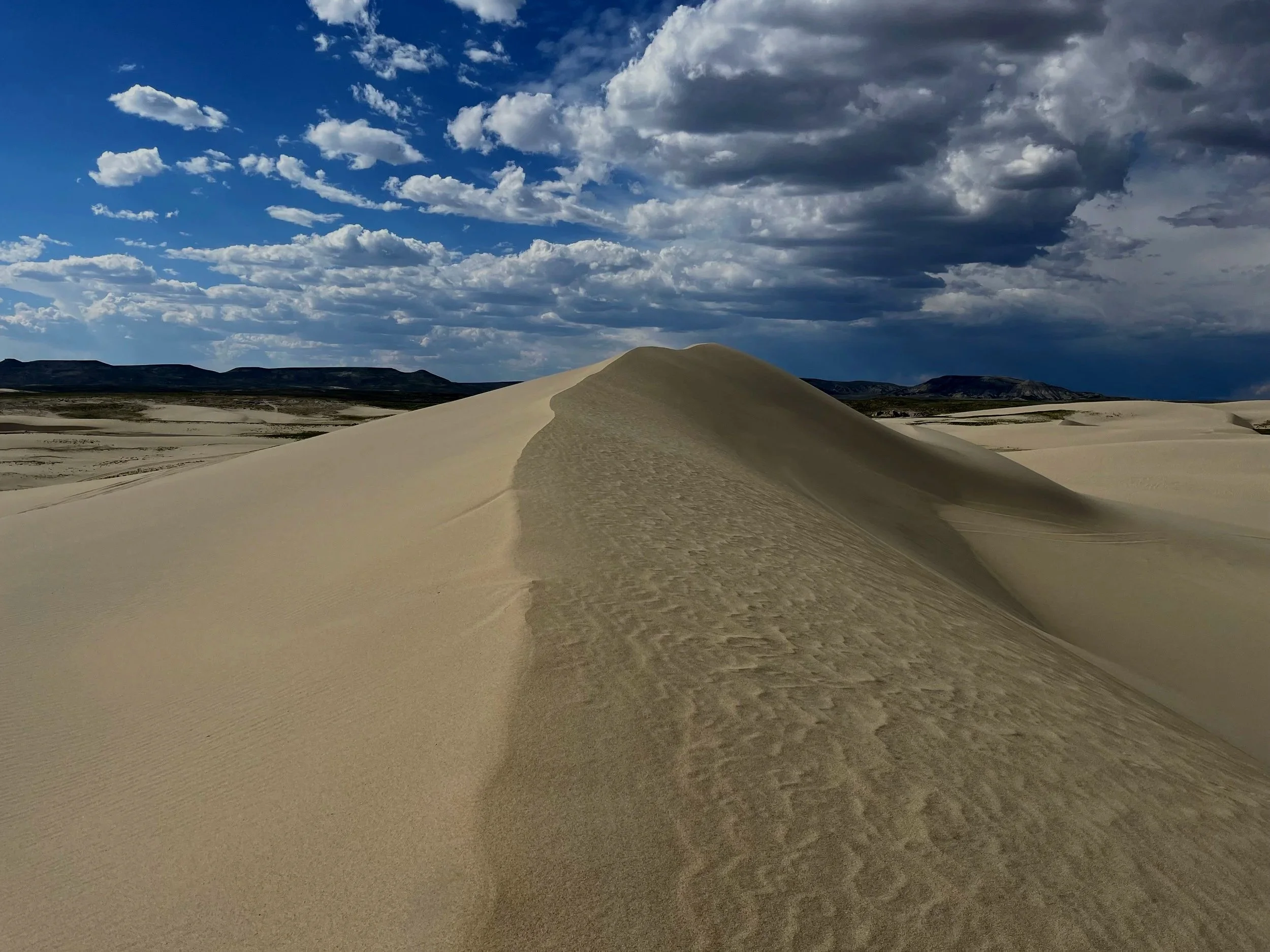
The Desert Trail (California, Nevada, Oregon, Washington)
There was an association attempting to formalize the route over a 50-year period. But it ended its activities in 2020. It still exists as an informal route, like all other trails linked on this page.
You can read an introduction and find a list of trail resources at this link and this link. You can view a rough outline of the route on Google Maps. For a complete report, check out Dirtmonger’s blog and this blog on Postholer. For daily blogs on a complete trip, here is a link to a blog (with most recent entry first). A few more people have completed the route, but they didn’t provide a trip report.
Route In Between (Arizona, Utah, Idaho)
This route uses the Arizona Trail in the south, the Idaho Centennial Trail in the north, and the Deseret Hiking Route in Utah to connect them. The linked page has a link to a full guide.
Whatever Route (New Mexico, Arizona, Utah, Idaho, Wyoming, Montana)
This route was done by Dirtmonger, who added the Great Divide Trail in Canada, with seasons and weather necessitating the need to do a flip (leave the trail for Canada and then hike back to where he left off). Trip report here and quick link to an overview map.
Western Wanderer Route (Idaho, Nevada, Arizona)
This is a dog-friendly route that PseudoSloth completed from north to south. Link to map on Gaia and to her Youtube playlist, and to a single short overview video. If you don’t have dogs, you could alter this route to include parts of southern Utah and northern Arizona inside national parks.
The Great Western Trail
This is not actually a hiking “trail.” It can be hiked, but it’s a motorized trail with sections varying between dirt roads, ATV tracks and motorcycle alternate routes. Link to overview here.
Arizona Trail + Hayduke Trail —> northern Continental Divide Trail
A few people have hiked the Arizona Trail and then some variation or section of the Hayduke Trail in Utah before cutting east or northeast to connect to northern sections of the Continental Divide Trail (CDT). I did this route in 2024 and provided a comprehensive report. There are multiple ways to connect to the CDT (from Moab to Colorado), from the Uinita Highline Trail to the Wind River Range, etcetera…
Are there other reports? Searching online results in statements of intention on forums, and dead links to websites that no longer exist (and which the wayback machine shows are plans, not completed trip reports).
Other people have done or attempted this route. In 2024 a CDT hiker told me that she had met a man just ahead of me who just like myself had come through Arizona and Utah and then connected to the CDT. Not everyone writes up a trip report and posts it online…
Why do this route? For me personally I find Arizona far more interesting than New Mexico, and Utah is one of my favorites (worldwide). The idea of Utah was more appealing than an early season snow/rain and thunderstorm hike through Colorado.
Arizona Trail + Hayduke Trail + Great Western Trail —> far northern Continental Divide Trail
The route designers are calling it the “Eight Wonders Trail.“ There is a private Facebook page here. There are some blog/diary entries from a 2025 attempt. It seems someone did make the full trip (Instagram).
Arizona Trail + Hayduke Trail + Great Basin Nevada + Oregon Desert Trail —> Pacific Crest Trail
A speculative route. I did quite a bit of research on a potential northbound route before realizing that I couldn’t complete a springtime Arizona Trail and Hayduke Trail hike in time to get through the Great Basin before getting hit with high summer temperatures. Perhaps a “flip route“ would work: Arizona and southern Utah starting in the spring, and then leave the trail for the Canadian border and start hiking the PCT southbound. A fully southbound route may also work. You would start at the Canadian border and need to get through Arizona before snow hits the north of the state (with the “sky islands“ in the south being small enough to just walk around at lower altitude).
Other routes?
Looking at an overview map of the western United States on LongTrailsMap you may get some ideas for connecting trails between Mexico and Canada. Just know that some of these trails are not popular for good reasons (excessive urban areas, too many people and cars, boring, and/or less scenic than the nice trails, etc.).
As for original routes without online trip reports - if they’re not online, then they remain unknown except to the person who hiked the route.