Killpecker Sand Dunes
A hike across Wyoming’s Red Desert
Killpecker Sand Dunes
Red Desert, Wyoming, United States of America
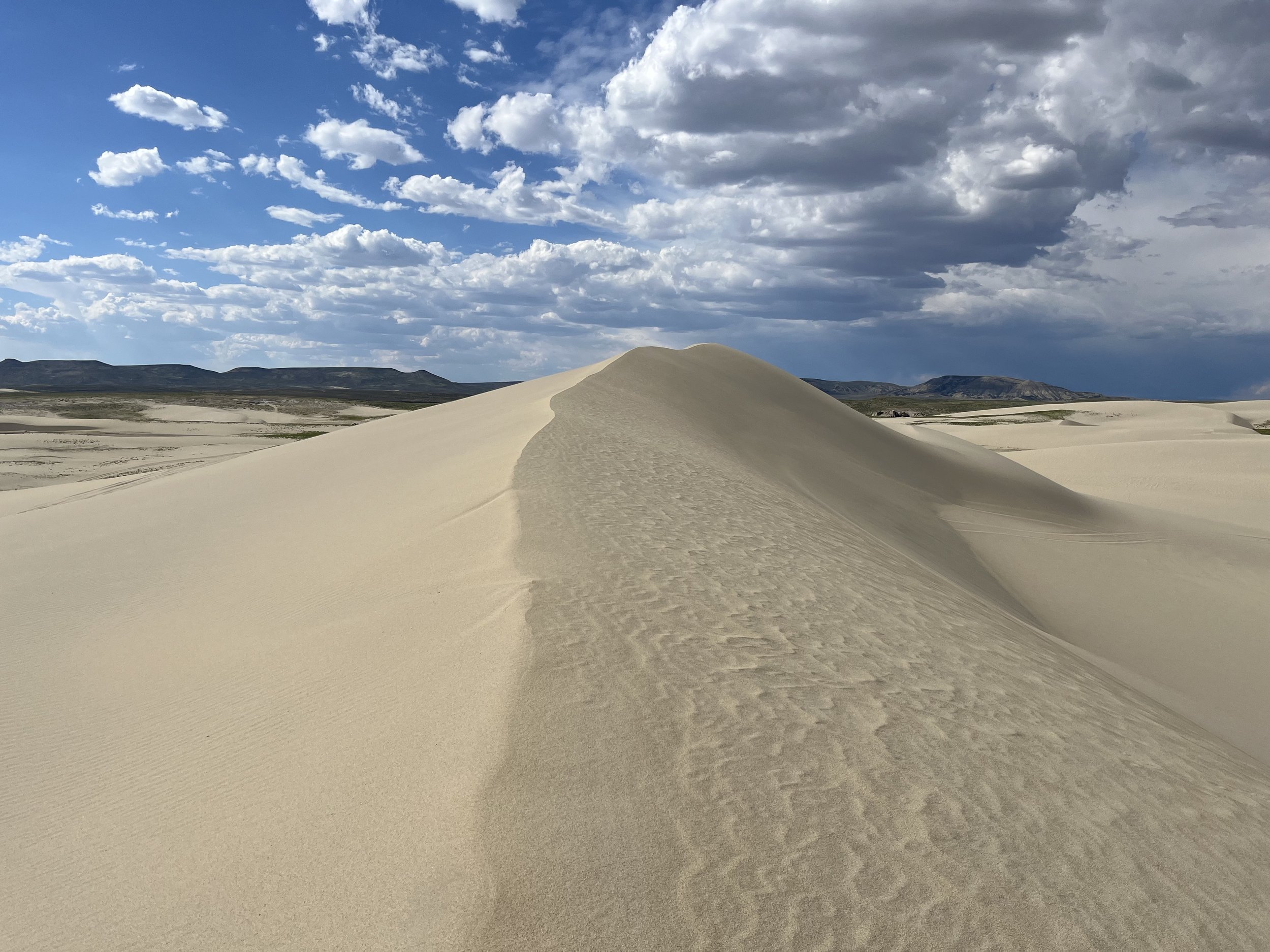
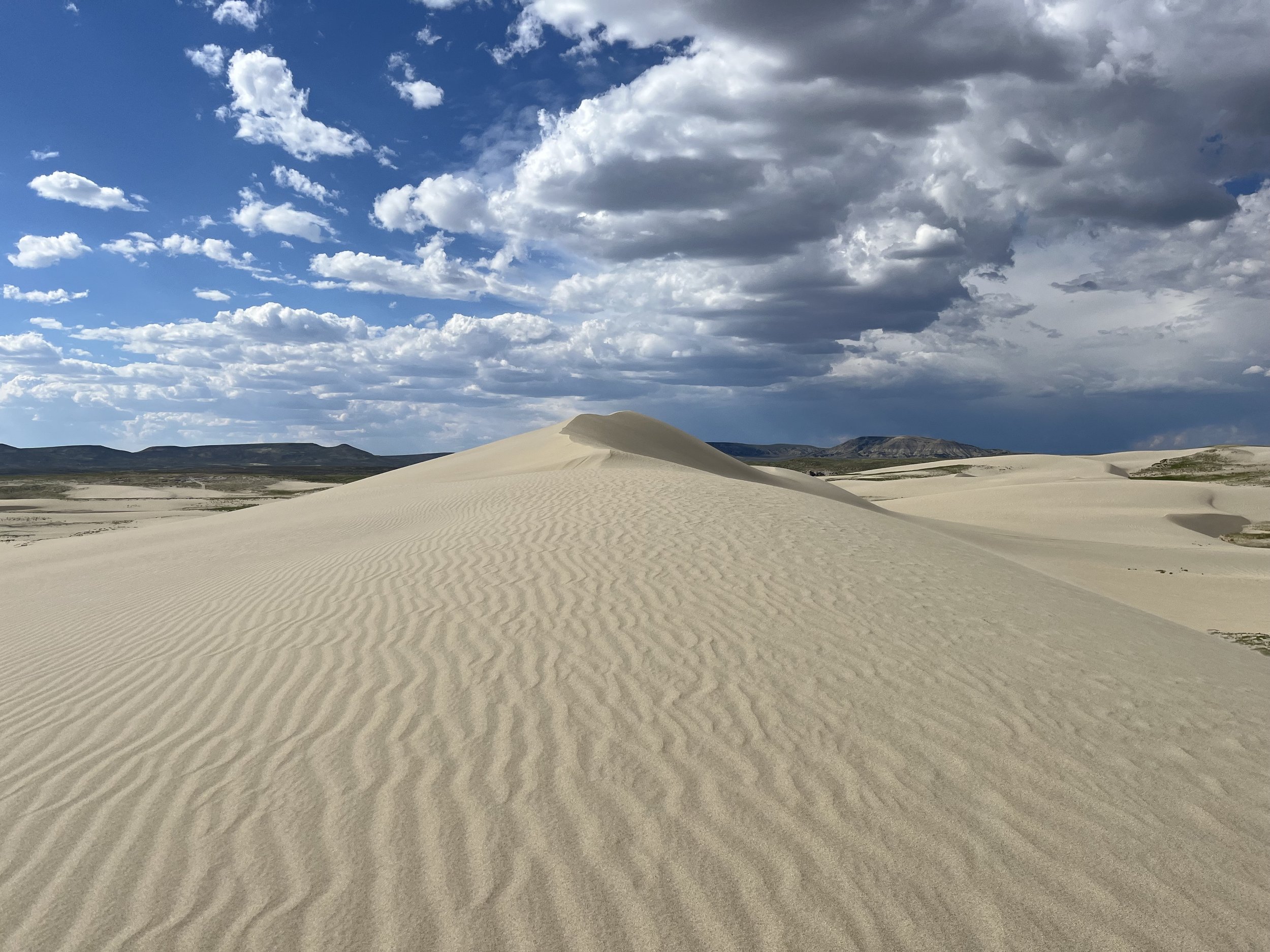
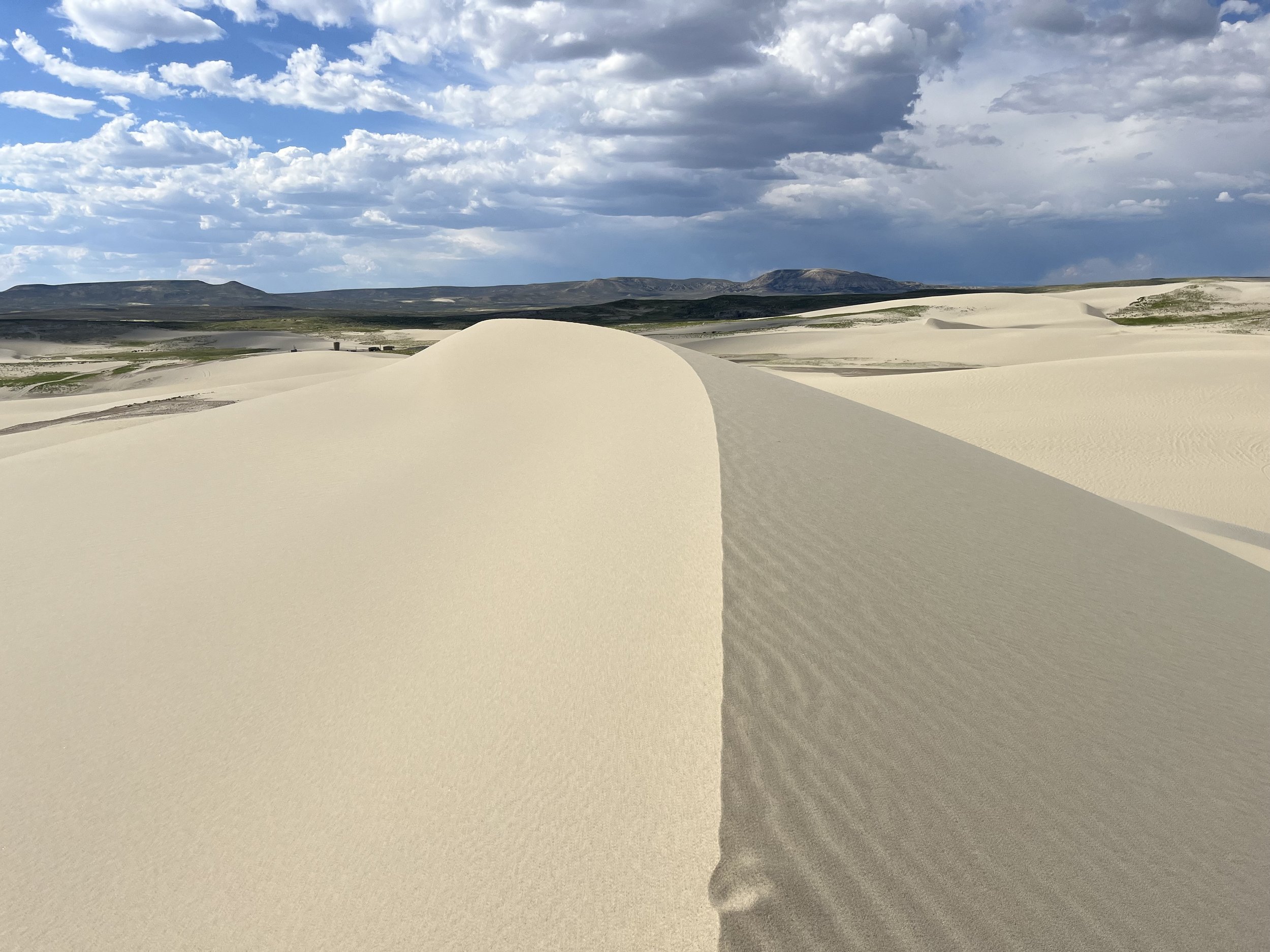
The Killpecker Sand Dunes of Wyoming are not the largest expanse of sand dunes in America, but they are one of the most beautiful. The eastern section is set aside for off-road vehicles and people who don’t mind walking with fast ATVs driving around: the Killpecker Sand Dunes Open Play Area. To the west is the Sand Dunes Wilderness Study Area, which is only open to those on foot or horseback.
In summer 2024 I hiked across the Killpecker Sand Dunes in southern Wyoming as part of my Mexico to Canada hike. My sand dune walk included both the section that allows motorized travel (ATV's, motorcycles, etc.) and the wilderness study area that allows only walking and horseback riding. Summer is not a popular time for visitors, and I only heard one ATV in the dunes. Below I’ll focus on information for hikers and tent campers who want to venture out into the dunes.


Driving directions
Google Maps pin for the campground at the end of the road. Approximately 1.5 miles before the parking lot and campground there is a BLM warning sign strongly recommending a 4-wheel drive with high clearance. It was fine when I was there, but road conditions may change after a rain or snow. And you can always get stuck on the edge of a road or parking area in soft sand. So show up in a 2-wheel drive car at your own risk.
Thru Hiking Directions
If you are crossing this general area (the Red Desert) to connect the Uinta Highline to the Wind River Range, you will face many challenges: summer heat, road walks, and very few sources of drinking water. My full report has all the advice and water waypoints you need.
Day Hiking
If you can get to the parking lot of the Killpecker Sand Dunes Open Play Area Campground then you can just walk into the dunes from there. However, if it is a busy day you will be faced with plenty of very fast motorized traffic in the dunes. It may be unsafe and/or unpleasant. If you download the satellite view on any map app on your phone you should be able to see some sand roads that go further west where you can do a hike with little to no ATV traffic. There is limited cell phone signal in the area, so download a section of the map or use an offline map app to prevent getting lost. And consider these road 4-wheel drive only.
Water
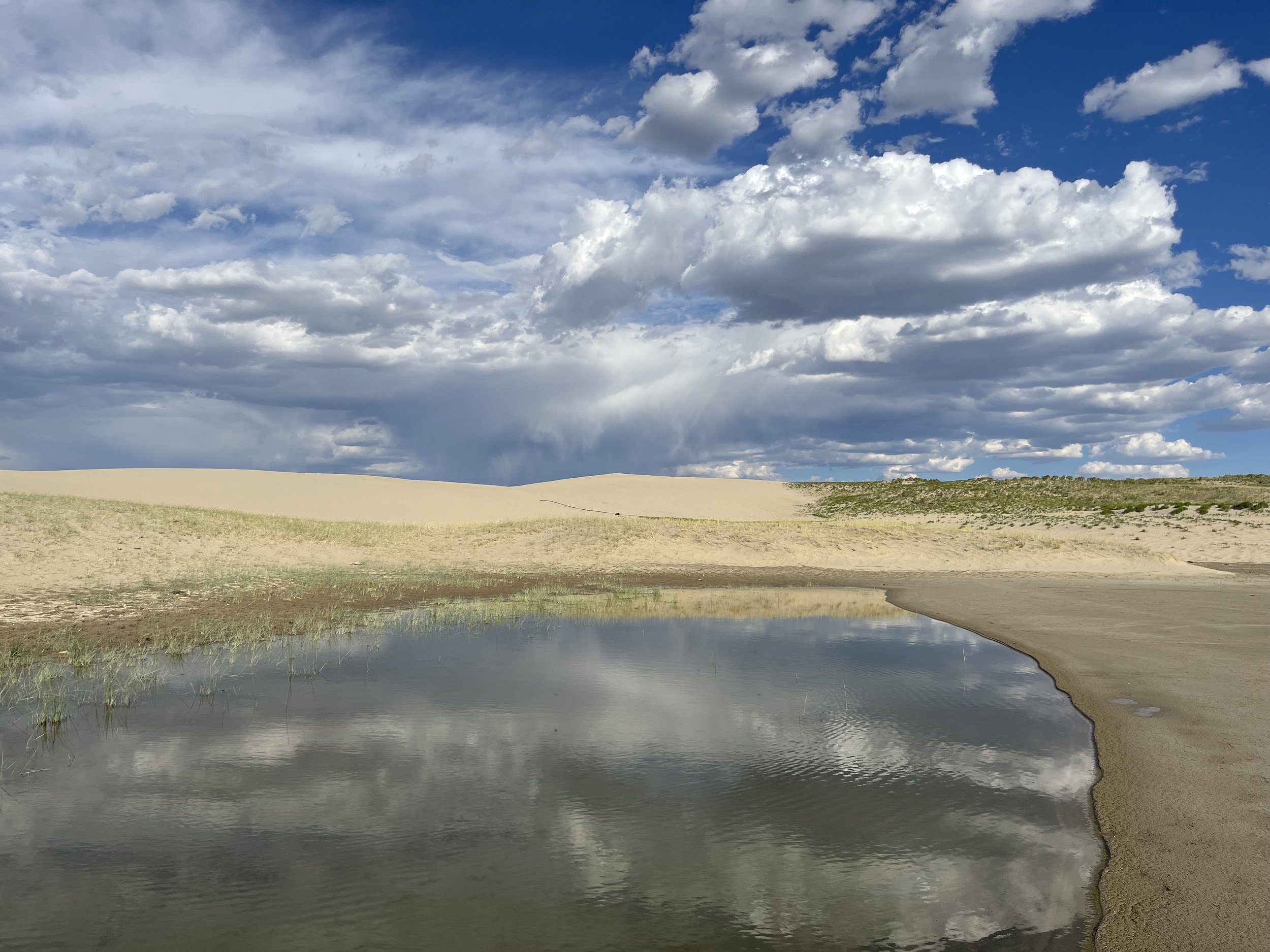
Don’t trust satellite imagery, as the many ponds that dot the sand dunes are seasonal and/or ephemeral. I was here July 9-10, 2024, and the hundred+ ponds in the eastern sand dunes that are displayed in Google satellite view (dated to June 25, 2017) were now dry. I only came across a few that still had water in the western sections. The water was clear and easy to filter (see the two photos below).
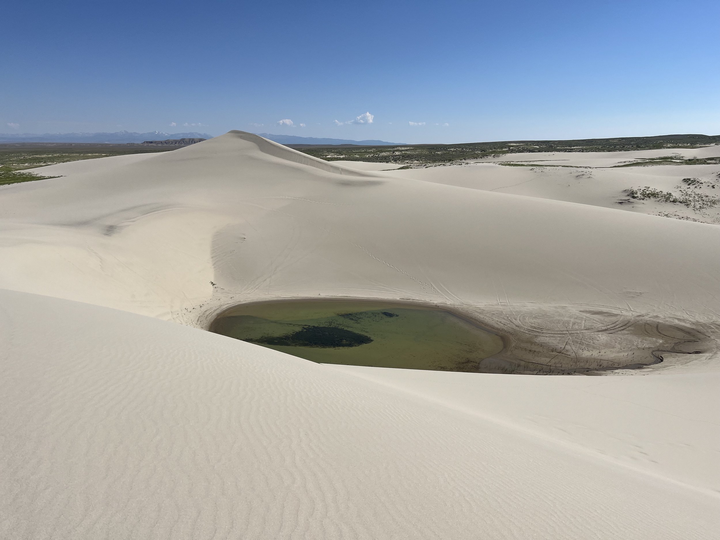
There is no reliable online information about the water in these ponds and when they are full and when they are empty. It could vary by year. It could depend on recent rainfalls. Or maybe it depends entirely on the ice cells inside the dunes (seriously) that slowly melt through the spring and summer. Will there be water for you on whatever day you visit? I don’t know.
What you can do is rely instead on springs. At the historical Crookston Ranch Cultural Site is a spring that worked for the rancher for 30 years before he passed away. It’s a green oasis area and I assume the spring here is more reliable than the ponds. You should arrive first to the old ranch house. If the nearby spring is dry, the assume the ponds and the other springs I list in my longer report are dry.
Camping
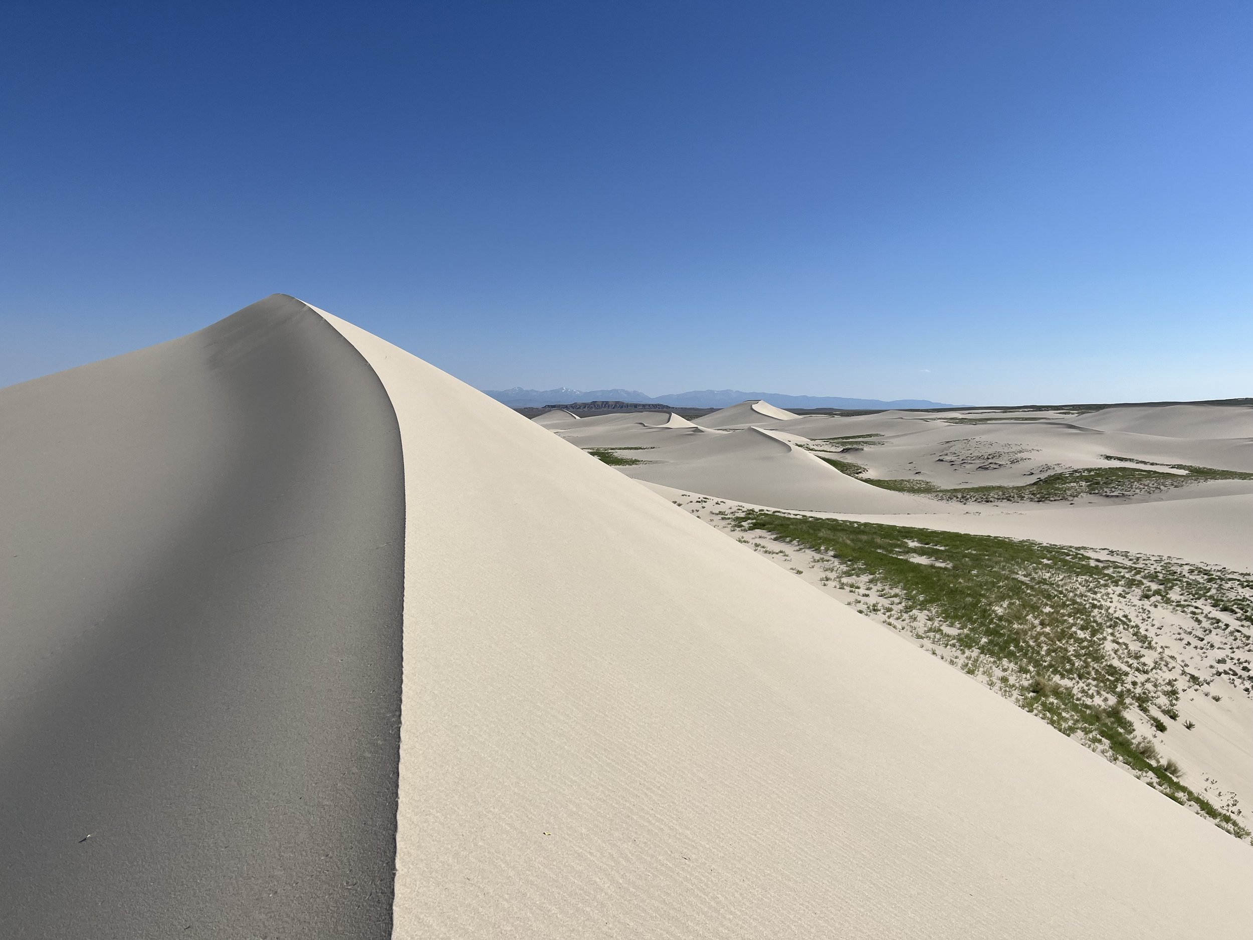
The Killpecker Sand Dunes Open Play Area Campground is just a dirt parking lot for people to park their trailers and campers. There are a few picnic tables and two drop toilets (and no water). It’s not a nice area for tent camping. In the western sections (where motorized travel is prohibited) you can cowboy camp in the dunes if the weather is good, and you can tent camp if you either have sand stakes for you tent or are willing to walk to a grassy area (these camp be lumpy) or find a spot on one of the dry ponds where your tent stakes will hold better than in the loose sand.

Random pieces of useful information
Land status: public land administered by the Bureau of Land Management. You are free to travel and camp here without a permit for up to 14 days. There are some very small blocks of unoccupied private property in the area, as well as some small but active gas well operations.
Closest big town: Rock Springs, Wyoming. Closest small towns: Eden and Farson.
The name? Killpecker was originally Kilpatrick. More history facts here. More a summary of the probably incorrect folk etymologies, read here.
Wildlife: the only herd of desert elk in America, plus pronghorn antelopes in the grass and sage nearby. I saw several type of shorebirds next to the ponds, and I heard coyotes at night. As for domestic animal, I saw a band of “wild“ horses to the north of the dunes, and cattle in the grass areas nearby (note that they come into the dunes to drink from at least tow ponds).
Singing sand dunes: The Killpecker Sand Dunes are “singing“ sand dunes, and under the right wind and humidity conditions they emit a humming sound.
Cell phone service: Not good. But I did have a good signal once atop the dunes in the western areas.
Other tourist attractions nearby:
Boar’s Tusk (an old volcanic monolith)
Buffalo Hump Wilderness Study Area (mixed sand dunes and grassland)