
Khingov River Walk
Khingov River Walk
The Khingov riverside hike, or Sangvor Alternate, is not a destination itself, but rather a low route alternate option to avoid the rocky and icy “Vereshkay Pass“ on the Pamir Trail (Stage 50B) in the Sangvor District. It is also an alternative to the long, dusty and sunny road walk on the other side of the river through the gold mines.
The GPS track download below is between the villages of Langar and Arzing.
In addition to making the route easier by skipping a high pass, it also adds two locations where you can resupply at village food shops.
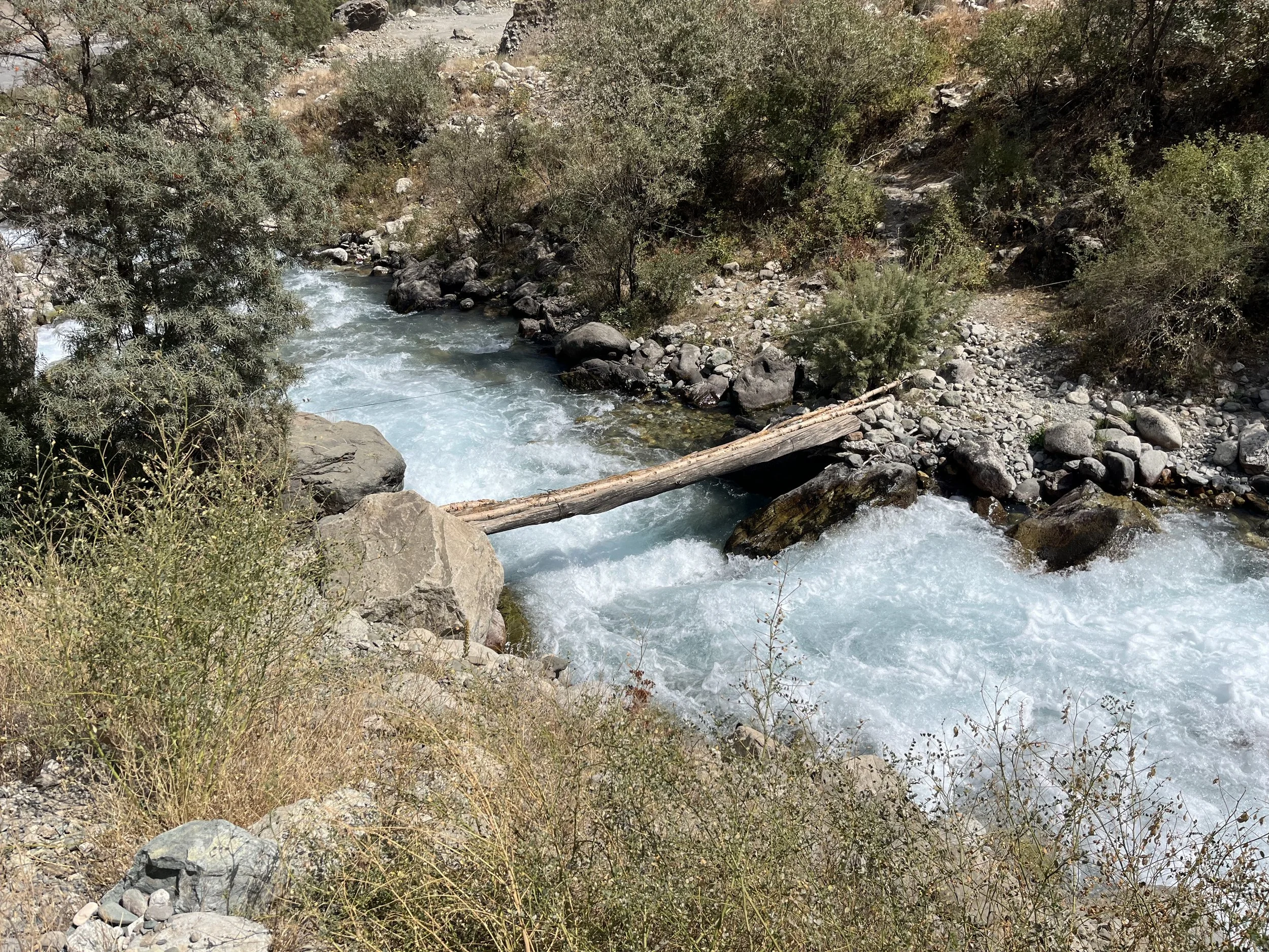
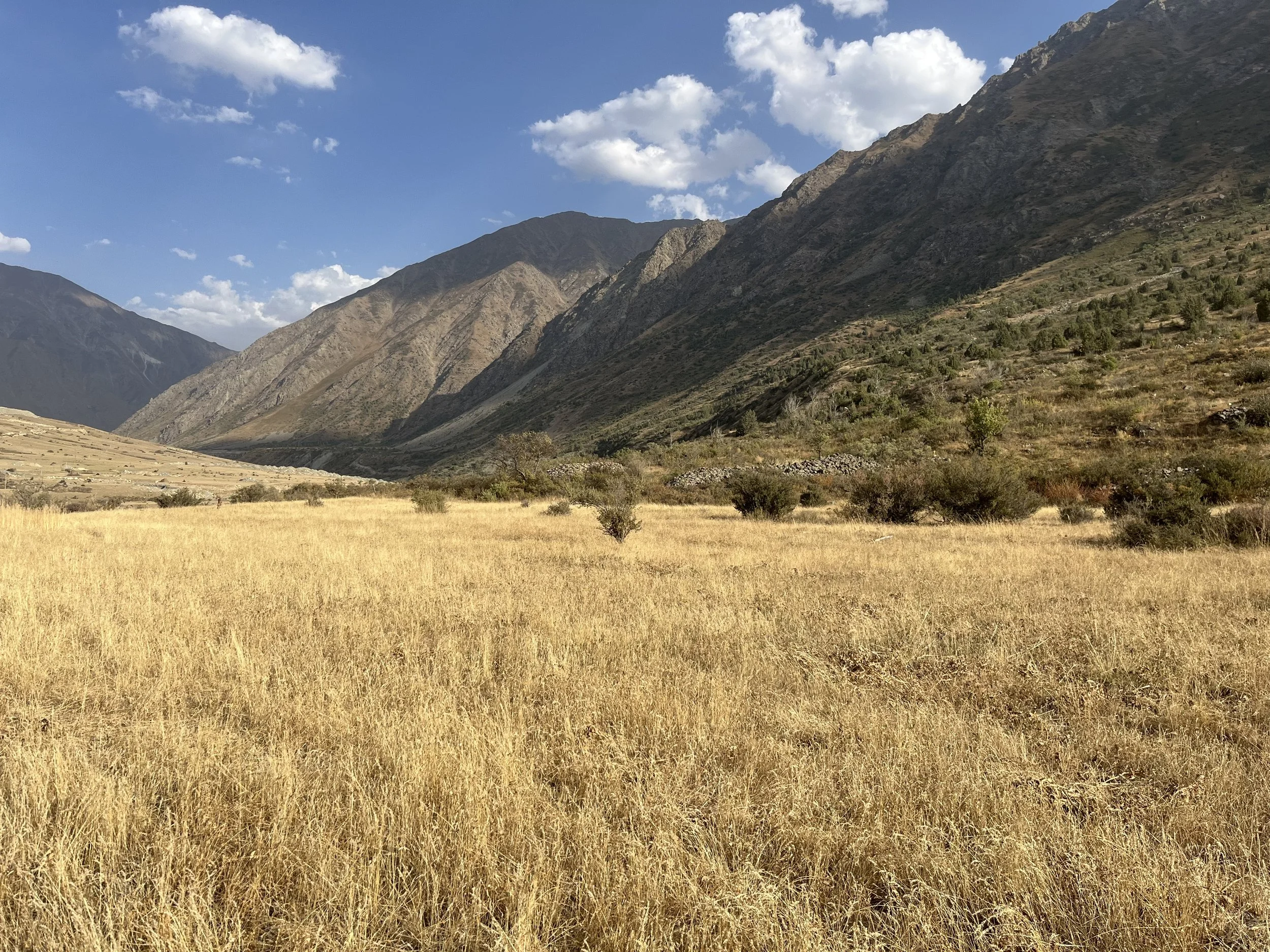
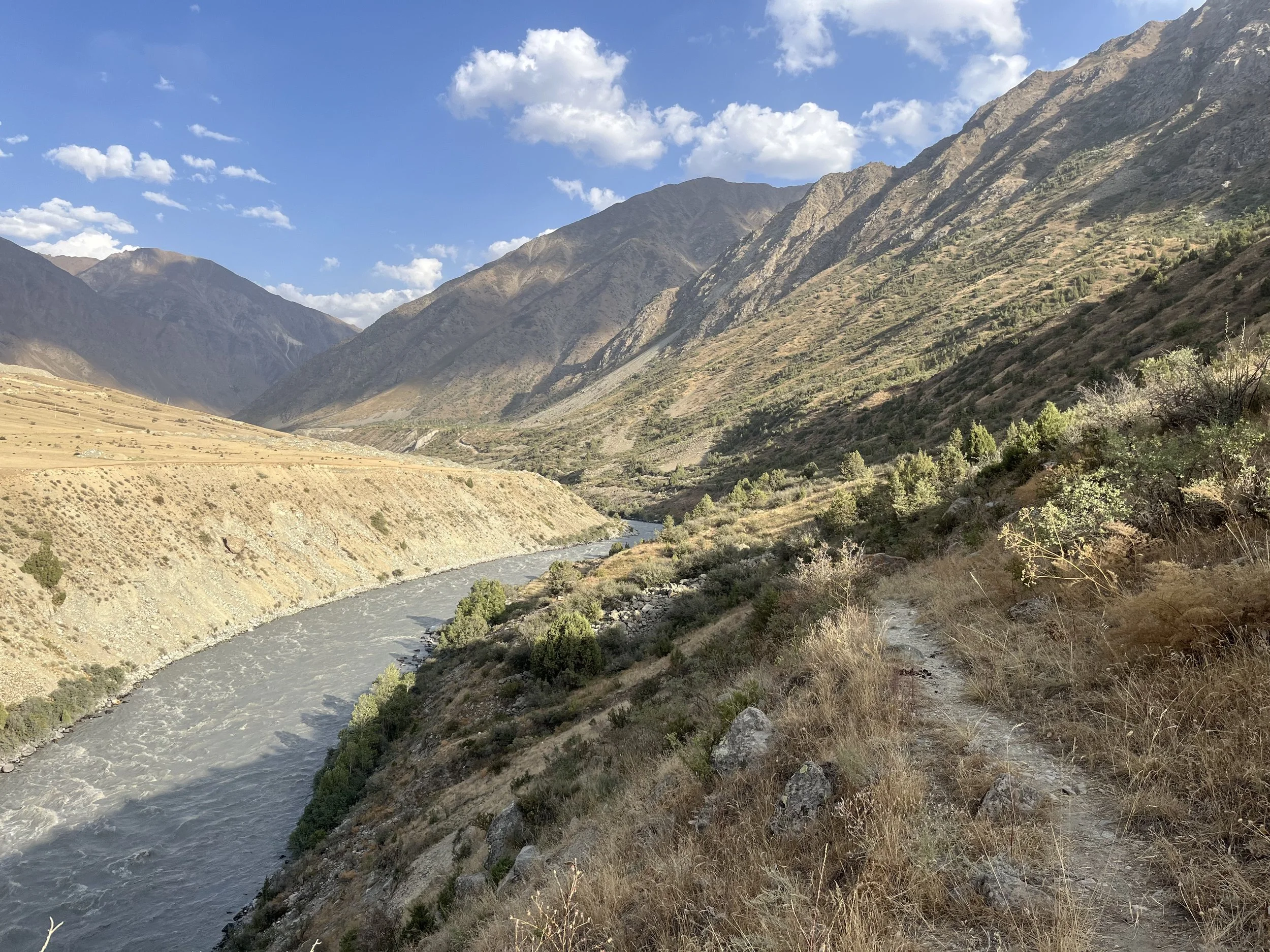
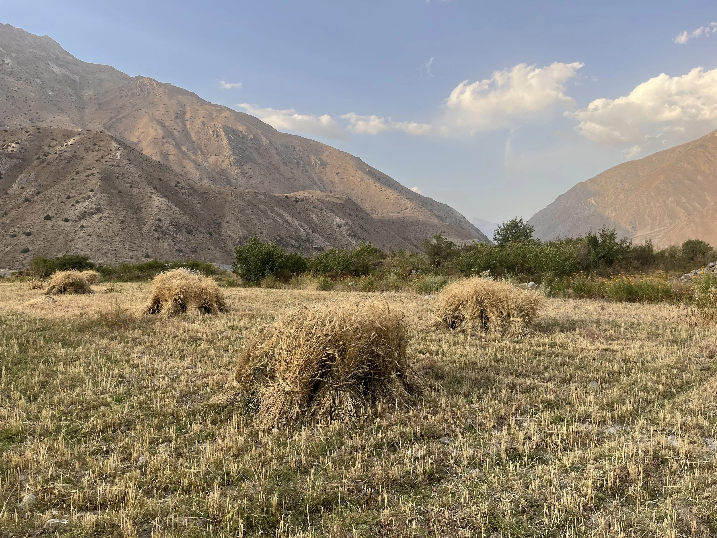
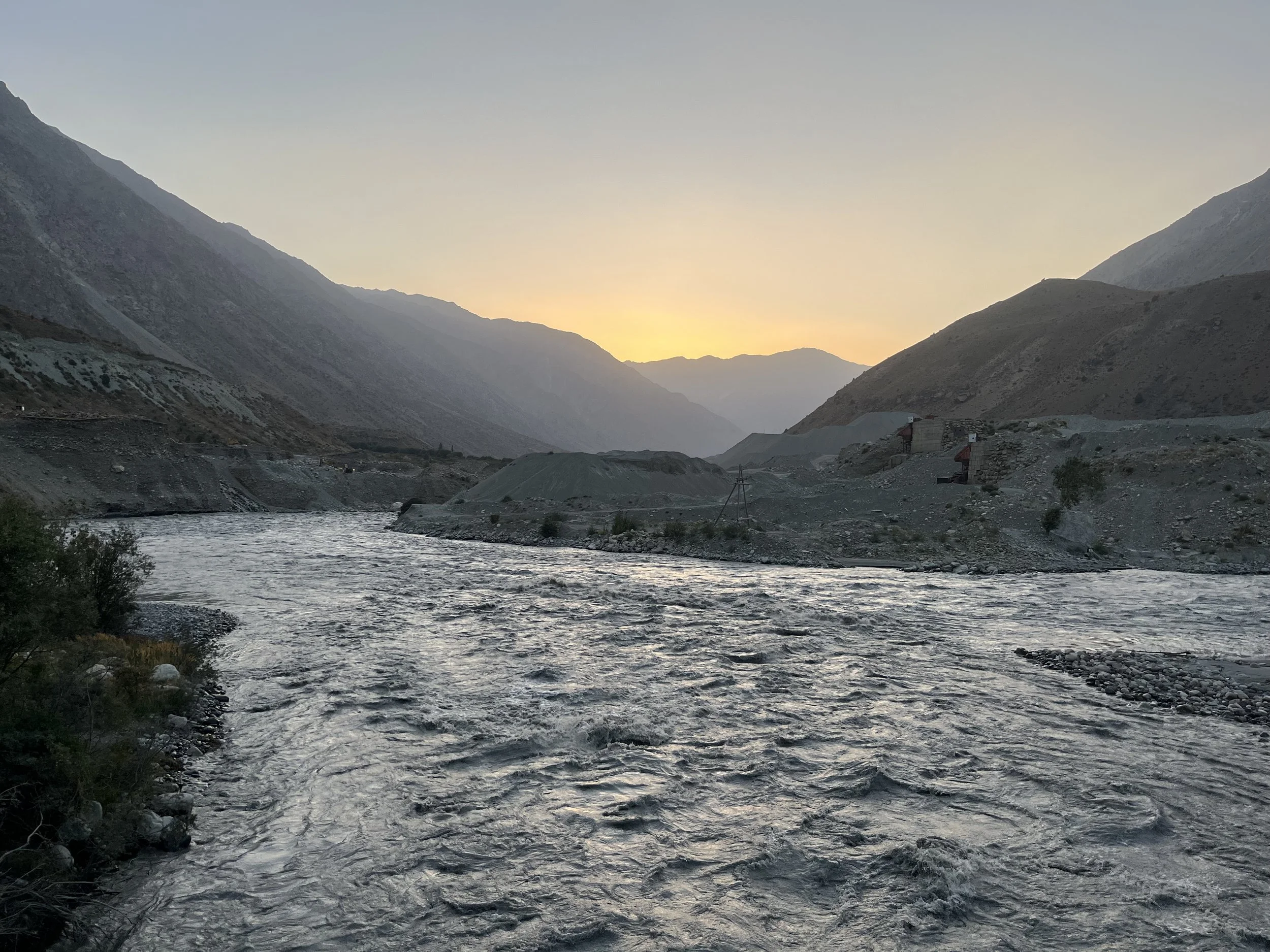
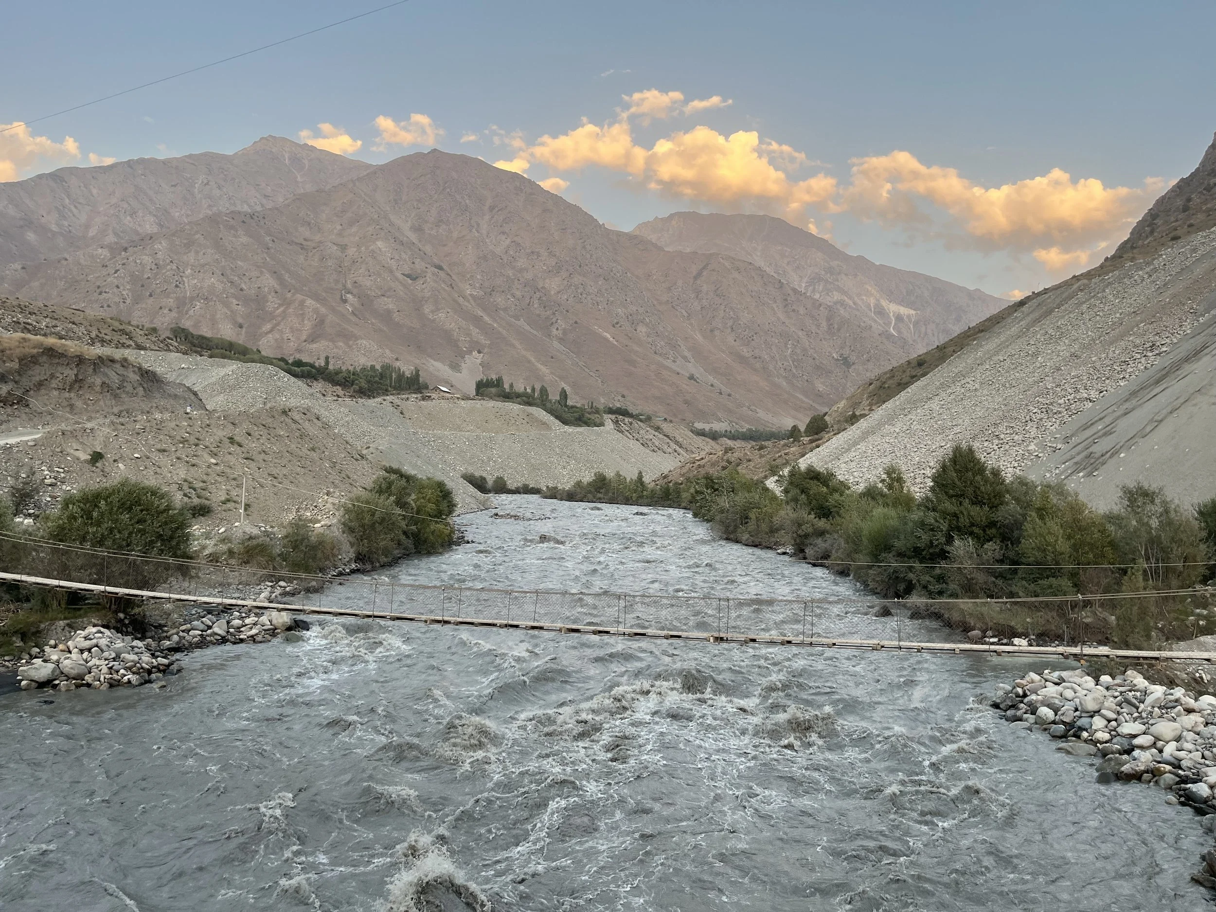
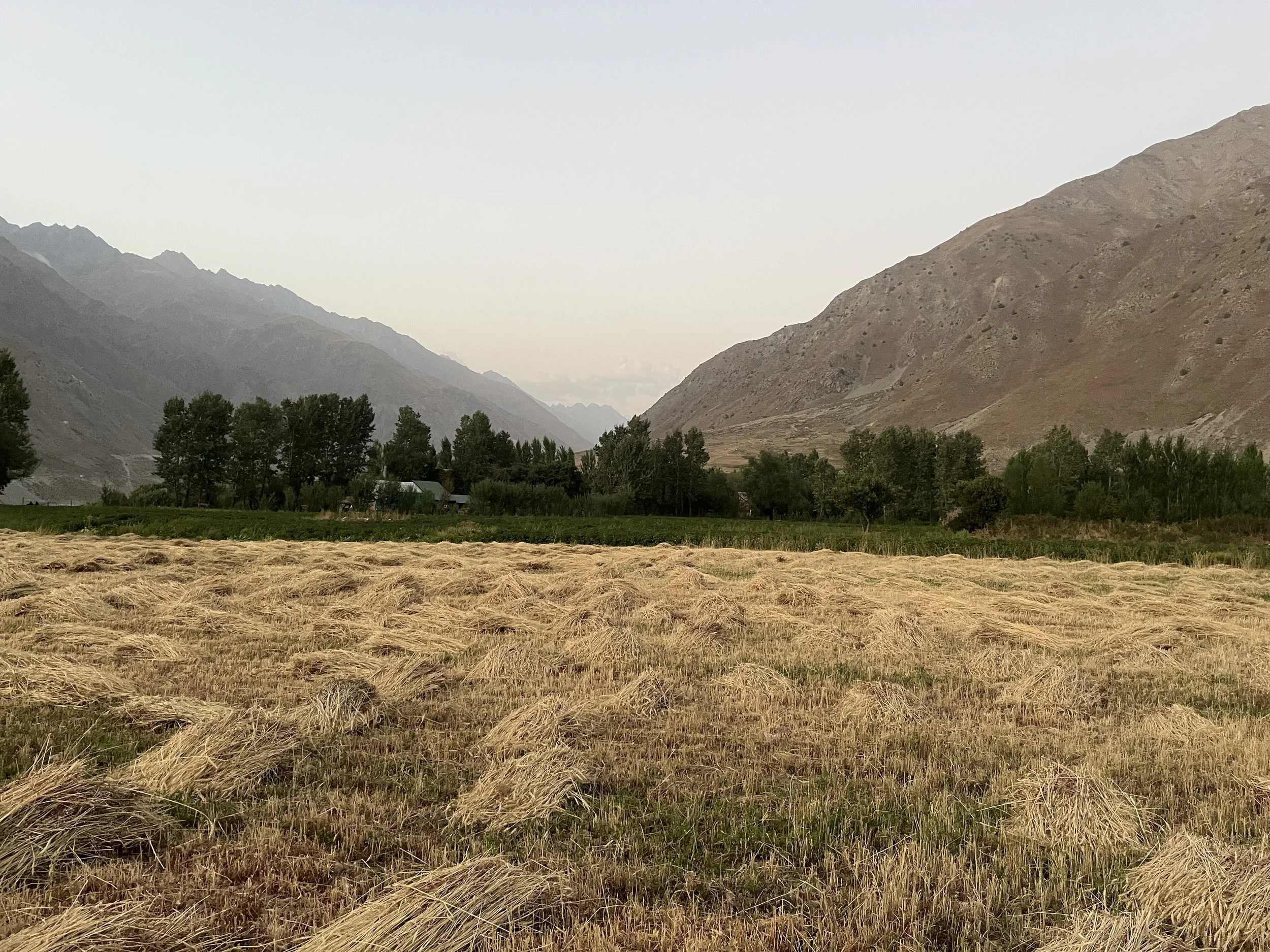
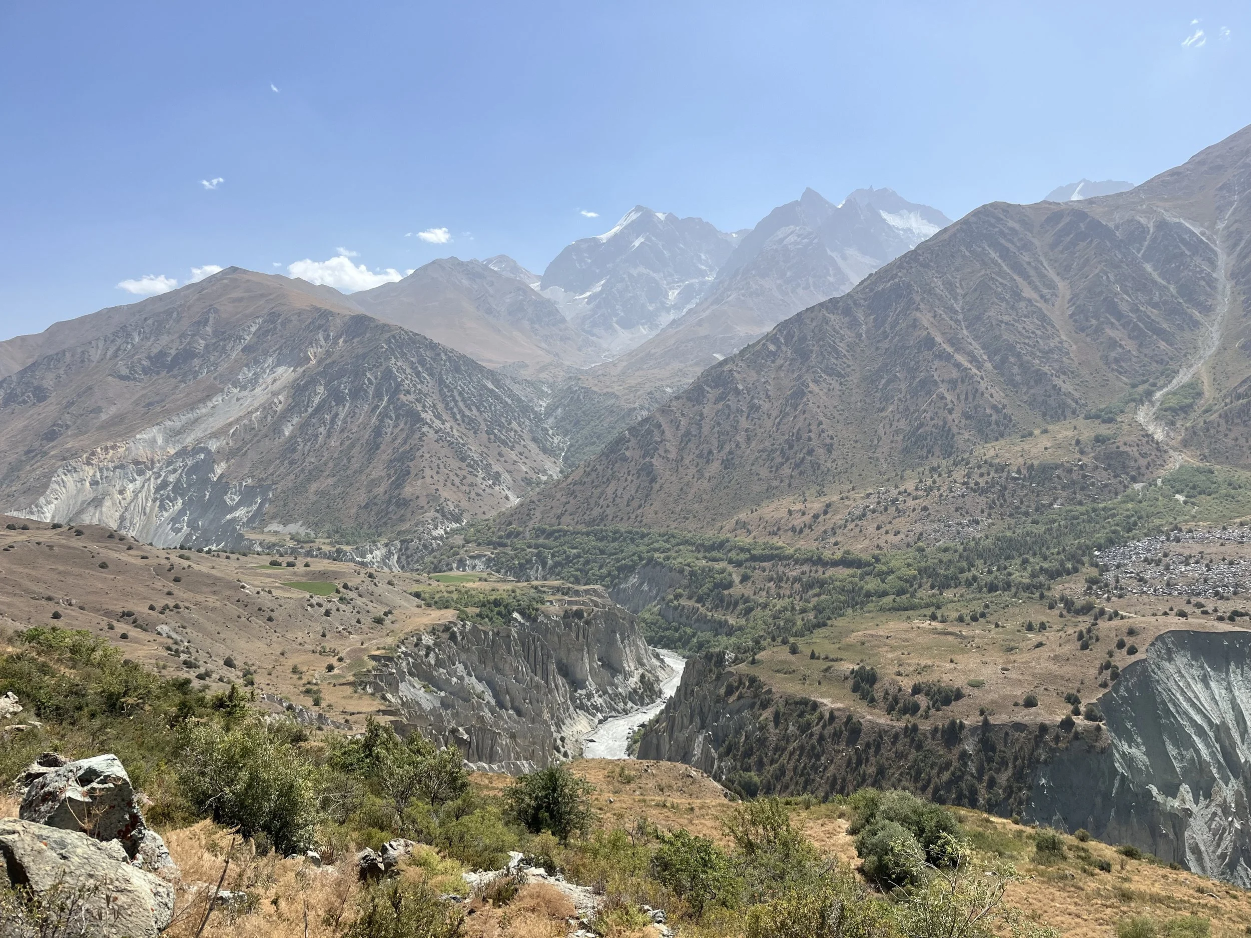
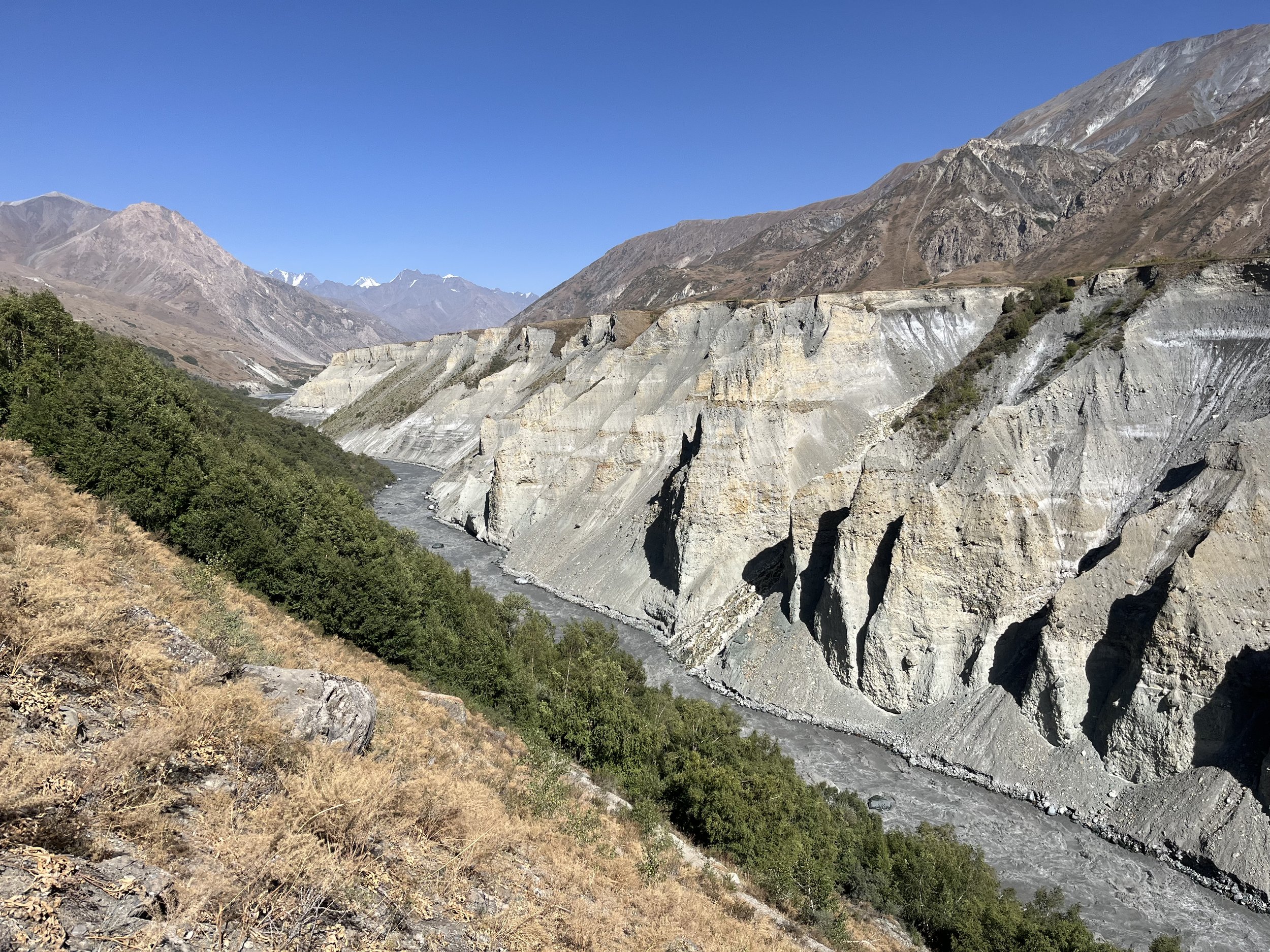
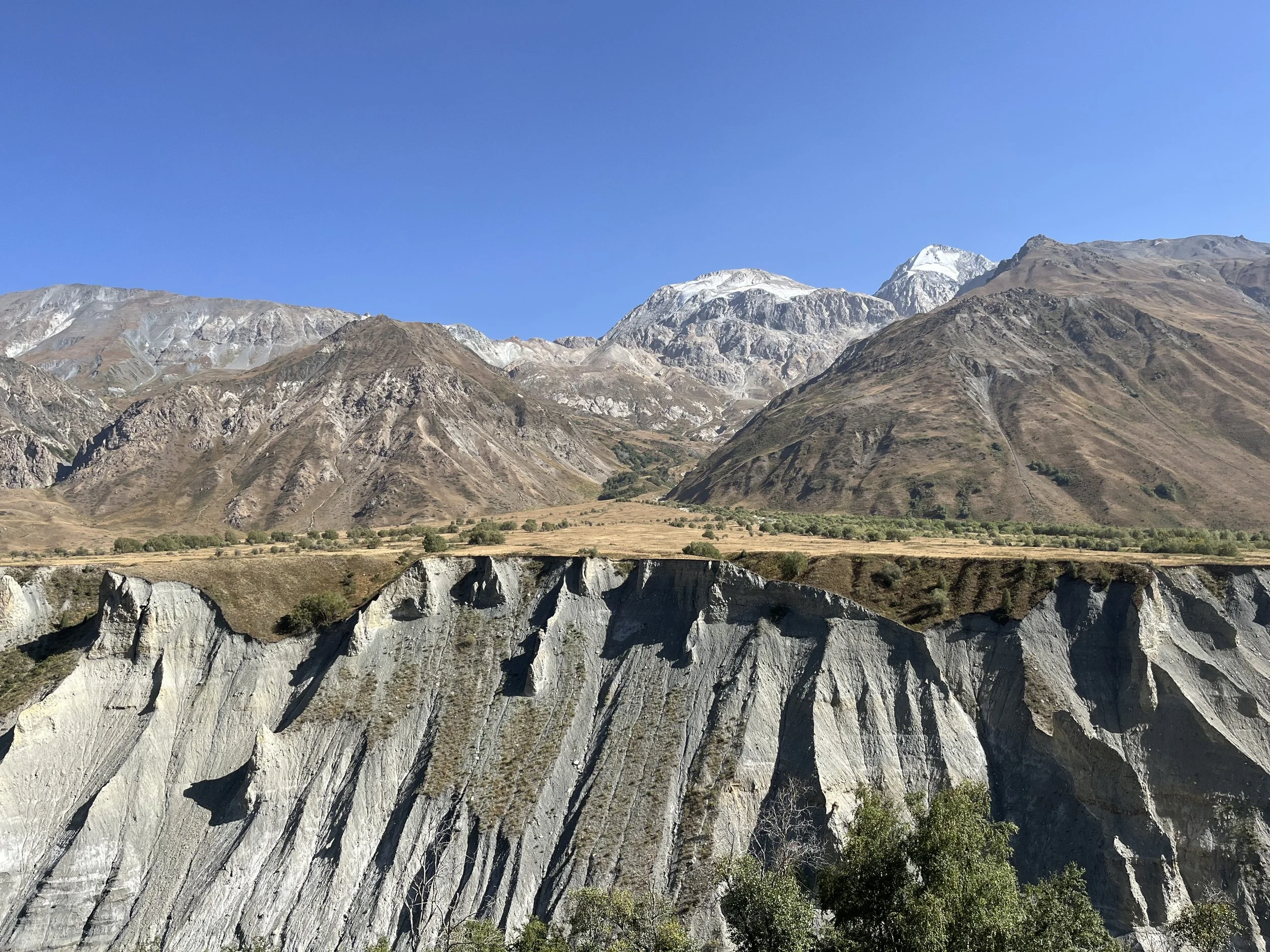
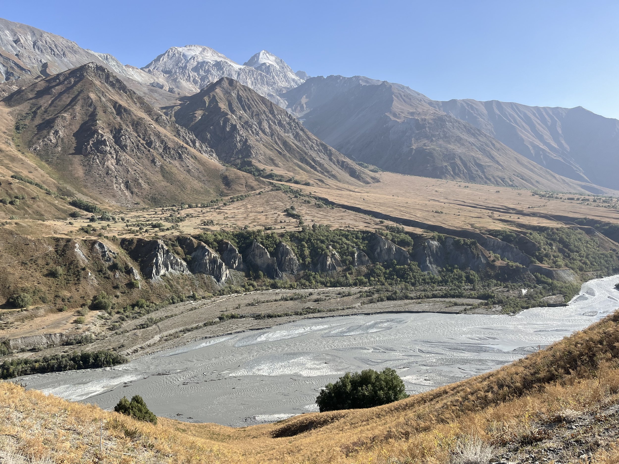
The route is pleasant and has scenic moments. See the photo slideshow below.
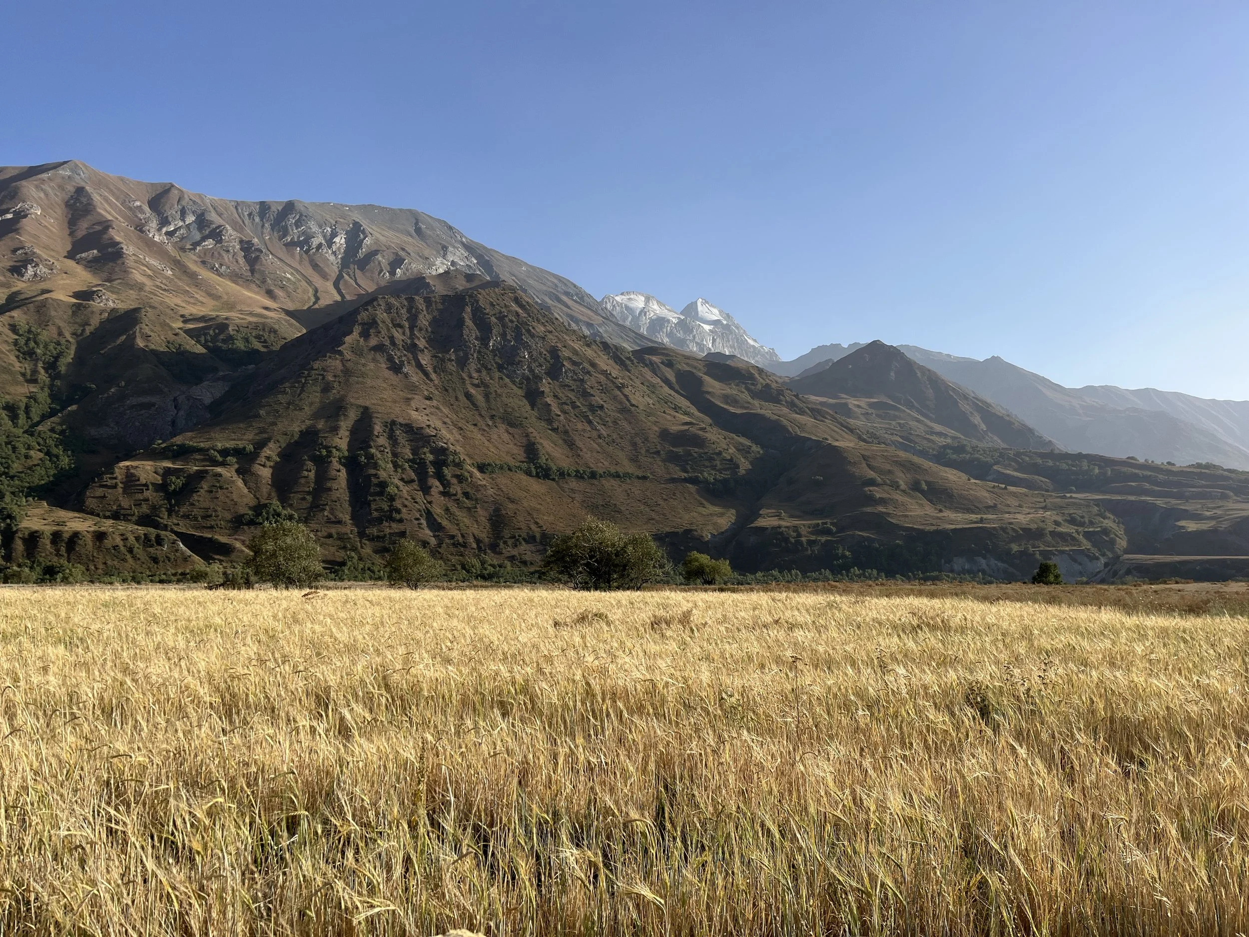
The Route
The route is 52km long, with the Darai Kalp alternate route adding a couple of extra kilometers if you choose that option. It is a mix of trail and road walking.
GPS Track: Download GPX.
Resupplying
You can stop in the village of Lojurg where there are, as of 2025, two village food stores. I don’t know the exact locations, but I was told by locals that they exist. Ask a local where the “magazin“ is. I added the village food store in Sangvor to the map. This is what I saw inside: ramen, pasta, peanuts, pistachios, candy covered peanuts, apricot pit nuts, almonds in shell, other nuts, corn nuts, raisins, plain biscuits - not too sweet, candy and the usual, plus cola and some juice. You might be able to beg bread off the owner. The owner’s name is Sherali, and his adult son is Sayvali. There is no sign above the door to the shop. But it’s attached to a house, so just start knocking. The end of the day will be the best time to show up; earlier and they may be elsewhere working.
There are plenty of springs and clear streams with good clear water. They are listed in the waypoints.
Mobile Phone
The Megafon signal works in this valley, but only as far up the river as Rogha.
Guesthouses
No formal guesthouses, but you may be invited in by locals if it is late in the day (I was invited to stay the night in Sangvor and Arzing).
Battery Charging
The main villages are connected to the electrical grid, but this does not extend as far up as Arzing, where they only have solar panels and batteries.
Warnings
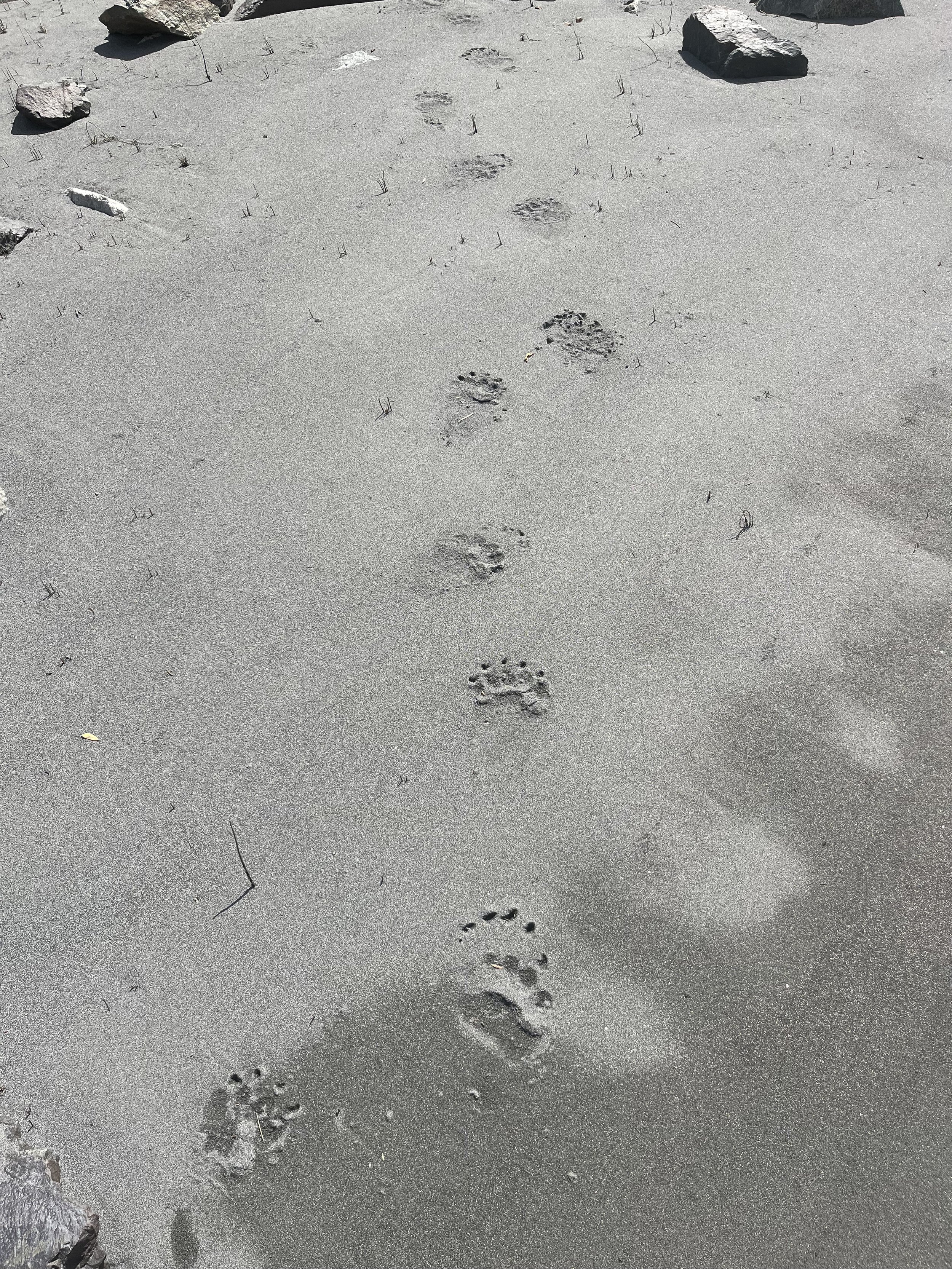
Bears, bears, bears. Bears are everywhere. I saw footprints and scat nonstop. There are some berries and fruit in late summer all along the route that the bears seem to enjoy.
The mining companies are working hard, and they occasionally expand, as satellite/aerial imagery show, and as I saw in my two visits two years apart. So the GPS track I provide may change a bit. However, the mining companies always provide a detour route or allow you to walk right through their operations, as the local people still farm and graze animals in places that requires access through the mining areas. The lower mine is Chinese, and the upper mine is a Tajik company.
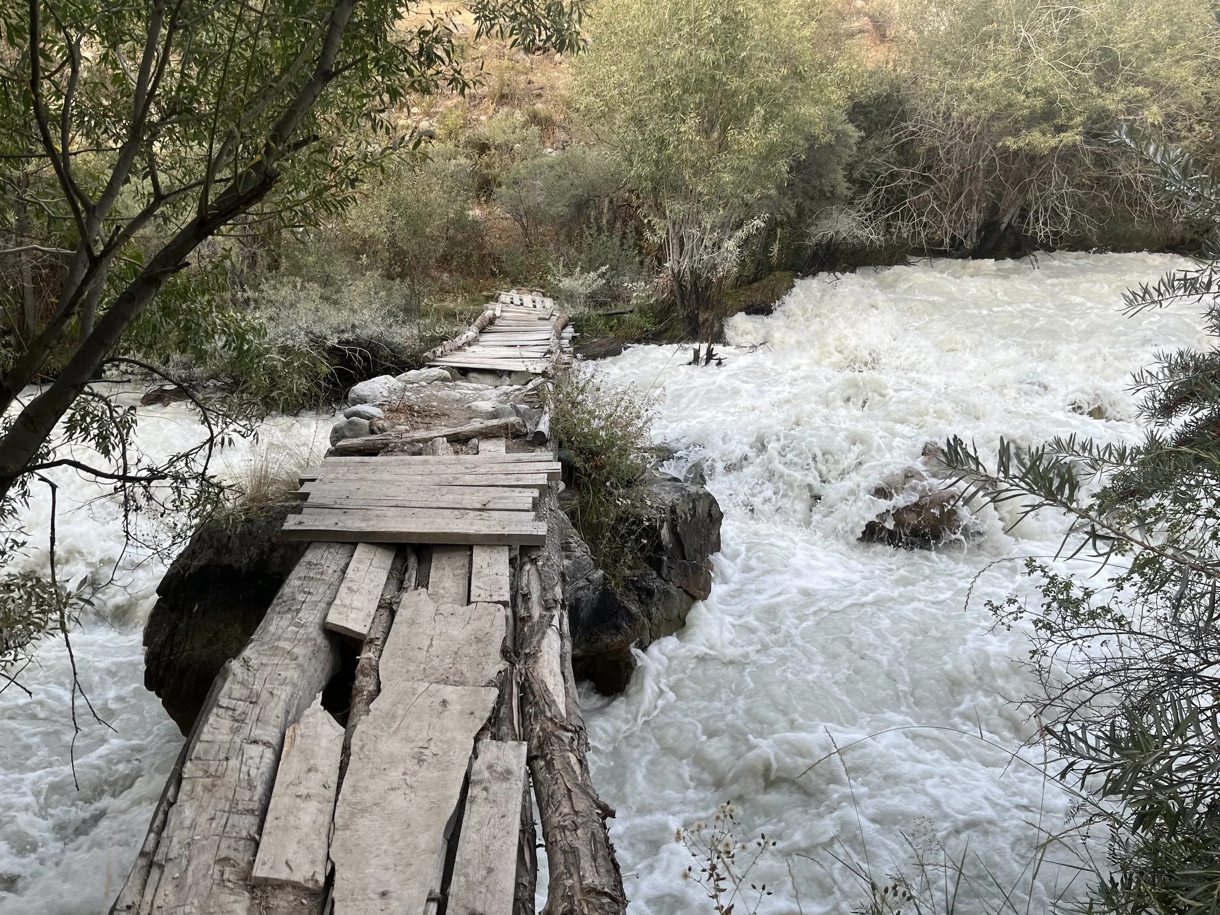
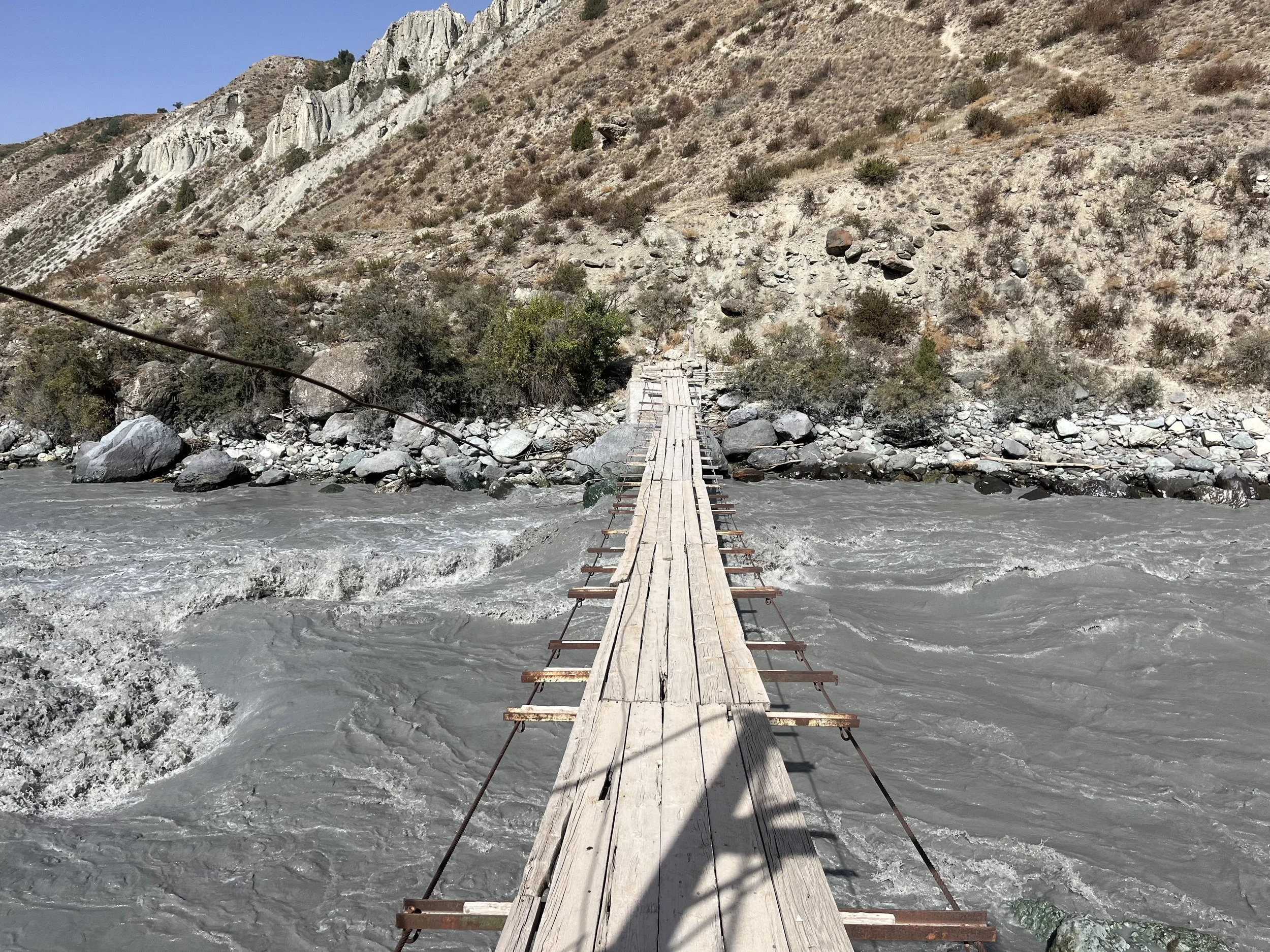
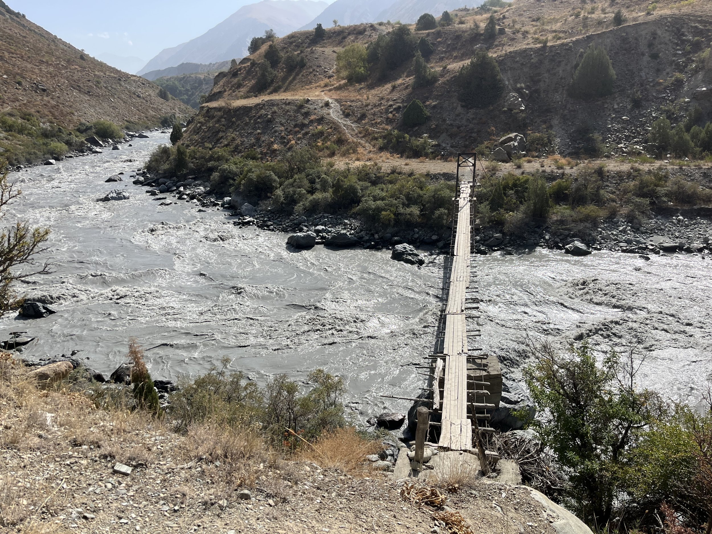
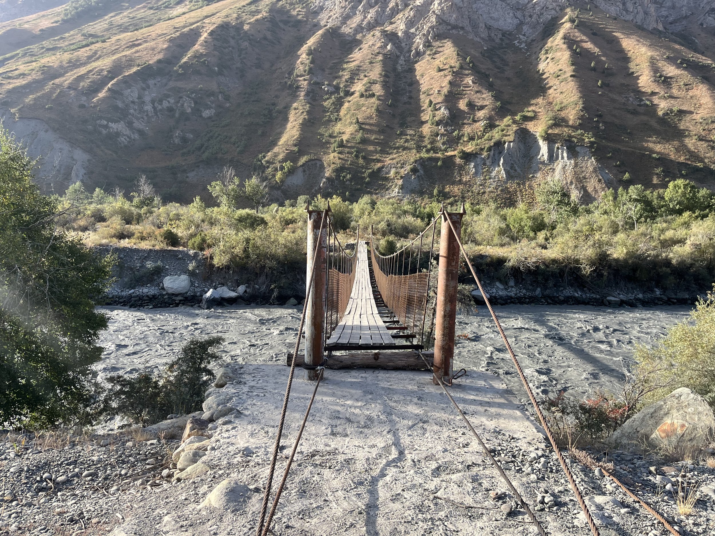
Footbridges may collapse, and many of them seemed like they get regularly repaired or need repairs.
You can not stay on the left bank above the hamlet of Nad. The locals warned me not to attempt this route, and I could see why when I walked by on the opposite side, it is an eroded gravel cliff/chute that is impassable.
There are two police checkpoints that may or may not be manned. At the lower checkpoint I had my passport photographed. At the upper checkpoint I was mugshotted (photographed after being told to remove my hat) and had full passport information written down and asked where I was going and what I was doing. Like in Vanj and Yazghulom, this is a leftover of the Soviet Union - they literally have not gotten the memo from Dushanbe that they don’t need to register and interrogate tourists anymore. The process is weird, but harmless. On a previous trip a recently retired district police chief told me to not worry about it (low level police being a bit overzealous).
Trails and open terrain
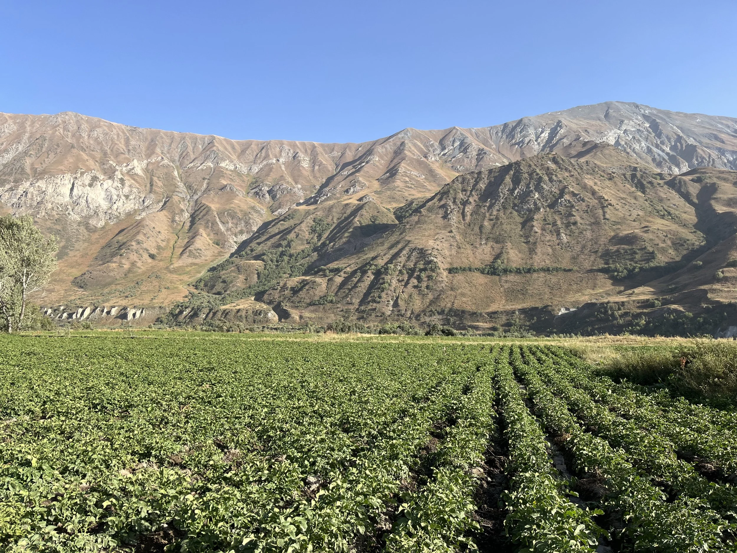
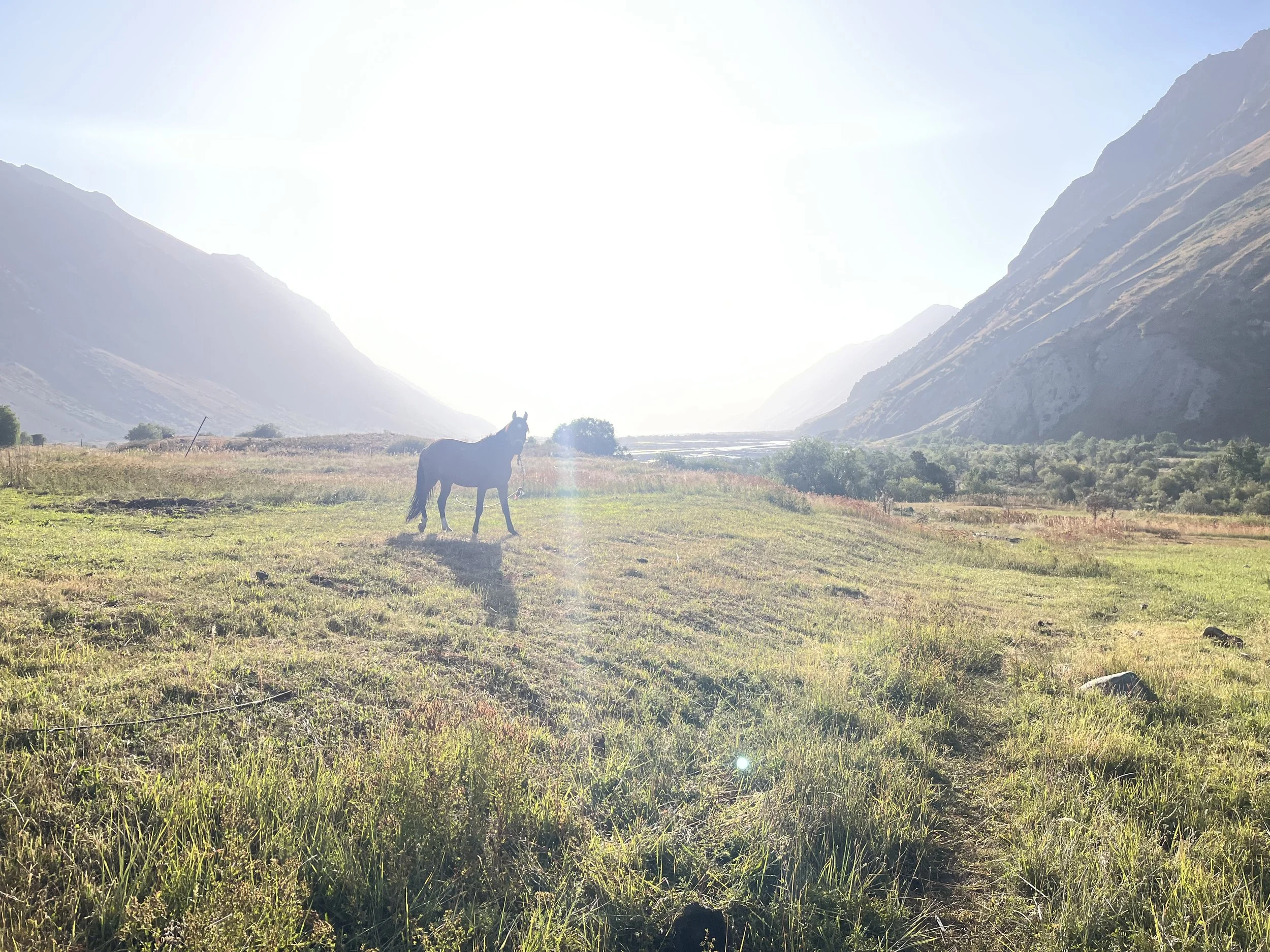
Mostly there is a clear trail, but occasionally there are multiple tracks or open terrain, especially in areas where there is wide open livestock grazing or where there is or was agriculture. But you can’t possible get lost here in between the river and the mountain.
I did not do the left bank Darai Kalp Alternate (that you can see in the GPX track) as I wanted to talk to the people in the villages of Rogha and Arzing about the mountains farther along on my journey. However, everybody said the route through Darai Kalp is open and easy.
The main Pamir Trail route
My lower route avoids the Vereshkay Pass on the main route of the Pamir Trail. The locals were very unenthusiastic about the idea of going through this pass, calling it rough and ugly. They say they never use it to get from one side of the mountain to the other. And its name was given by a German explorer over a century ago. It is not the local name (I don’t think they even have a name for it). Only one person has done the high pass and provided an (unflattering) account. That information will be integrated into the Pamir Trail website before the 2026 hiking season starts.